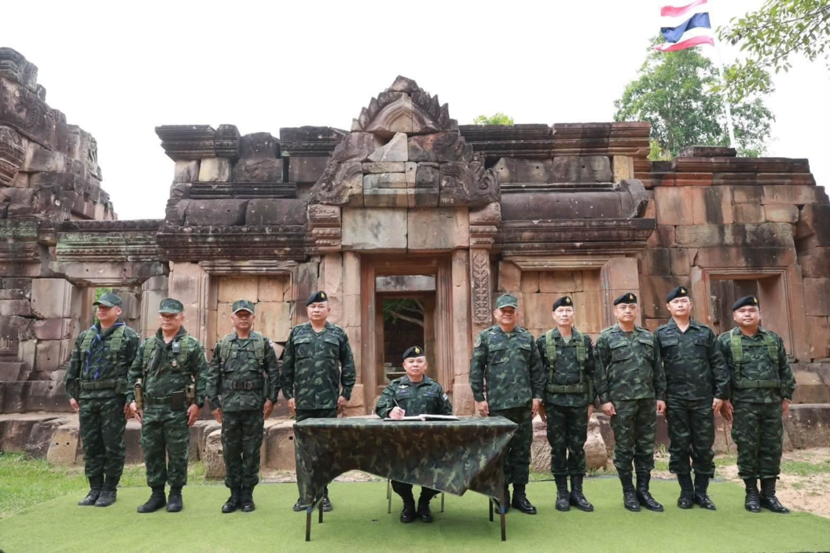
Cambodia Reasserts Sovereignty Over Border Temples, Citing French Colonial Maps
Cambodian border officials assert that temples occupied by Thai forces are within Cambodian territory, citing French colonial-era maps and even unilaterally drawn Thai maps that confirm their location inside Cambodia.
This article requires PRO
This article is outside the free access window or is a special report. PRO unlocks it and the full archive.
Related articles
- Bronze Buddha Statue Consecration Ceremony Held in Siem Reap, Reflecting Devotees' Zeal for Promoting Buddhism
A consecration ceremony for a bronze Buddha statue was held at Wat Svay Romiet in Siem Reap province, Cambodia. The event showcased the deep faith and commitment of devotees to promoting Buddhism, with expectations for continued contributions to the preservation and development of Buddhist culture.
- Cambodia Emphasizes Protecting Cultural Heritage Through Traditional 'Sbাইজ'
Cambodia's Ministry of Culture and Fine Arts highlighted the traditional attire 'Sbাইজ' as a cornerstone of Khmer civilization, dating back to the Funan era. The ministry urged for the protection and promotion of Sbাইজ to counter cultural appropriation by neighboring countries and preserve Khmer identity.
- Siem Reap Gears Up for Pchum Ben Festival, Welcoming Tourists
Siem Reap province has finalized preparations to safely and comfortably welcome domestic and international tourists for the upcoming Pchum Ben festival, a significant traditional observance. Enhanced tourism services, attractions, and security measures are in place, offering both cultural experiences and leisure.
- Minister Peng Ponea Attends Religious Ceremony at Pagoda
Minister Peng Ponea of Public Works and Transport attended a traditional religious ceremony on October 5th at a pagoda in Phnom Penh. Ministry officials also participated, praying for the prosperity of the nation and its people. This event symbolizes Cambodia's Buddhist culture and national unity.