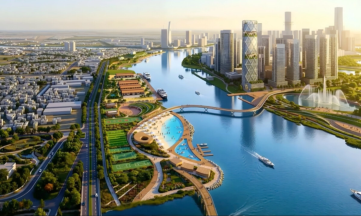
HCMC to Transform Saigon Riverfront with Parks, Landmarks in $1.1B Project
Ho Chi Minh City plans to transform a 3km stretch along the Saigon River into a vibrant waterfront with parks, landmarks, and underground commercial facilities in a $1.1 billion project. The initiative aims to alleviate chronic traffic congestion and enhance the urban landscape.
This article requires PRO
This article is outside the free access window or is a special report. PRO unlocks it and the full archive.
Related articles
- Hanoi Accelerates EV Bus Rollout, Aims for Diesel Ban by 2035
Hanoi is accelerating its transition to a sustainable public transportation system, with a plan to phase out diesel buses and adopt electric vehicles by 2035. New electric buses have been introduced on two more routes, enhancing passenger comfort and accessibility.
- Dong Thap Strengthens Fishing Vessel Control, Seafood Traceability
Dong Thap Province in Vietnam is intensifying fishing vessel control and seafood traceability as part of its efforts against Illegal, Unreported, and Unregulated (IUU) fishing. Since 2024, the province has reported no fishing vessels violating foreign waters and is enhancing port monitoring and inspections of vessels that lose VMS signals.
- Ho Chi Minh City: Large Dredging Rig Collapses, Causing Major Traffic Gridlock
A large drilling rig used for the Xuyen Tam canal renovation project collapsed in Ho Chi Minh City, blocking the major Bui Huu Nghia street. The incident caused a massive traffic jam during the evening rush hour, prompting authorities to cordon off the site for clearance.
- Vietnam and Panama Forge Ties as Gateways Between Southeast Asia and Latin America
Vietnamese Party General Secretary and President Lam welcomed Panamanian President Mulino's official visit, expressing optimism for renewed momentum in bilateral ties. The visit aims to revive exchanges and foster a more substantive and effective relationship.