General articles are free for 24 hours after publish.
UN Adopts New World Map Correcting African Continent's Size
The UN General Assembly adopted a new world map that corrects distortions from the Mercator projection, reflecting the true sizes of countries, following years of advocacy by African nations. This decision aims to rectify the underrepresentation of the African continent and promote fairness in economic and social perceptions.
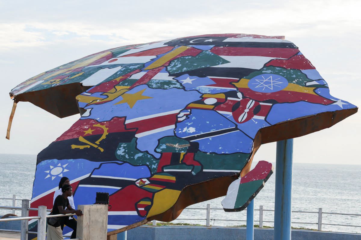
On September 4, 2026, the United Nations General Assembly adopted a new world map that reflects the true sizes of countries, particularly on the African continent. This initiative addresses long-standing issues raised by African nations regarding cartographic inaccuracies. The resolution, titled "Correct the Map," was proposed by the African Union (AU) and the Bahamas. It passed with an overwhelming majority, receiving 164 votes in favor, 6 abstentions, and only 1 vote against from the United States. The primary objective of this resolution is to establish "equality" in the representation of global regions, especially Africa, by correcting the distortion inherent in the widely used Mercator projection, which makes the continent appear significantly smaller than it is. The Mercator projection, developed by European cartographer Gerardus Mercator in 1569, has been extensively used for navigation due to its accurate representation of directions. However, it distorts the size of landmasses, making areas farther from the equator appear disproportionately larger than those closer to it. For instance, on a Mercator map, Greenland appears larger than South America. In reality, Greenland's size is comparable to that of the Democratic Republic of Congo, and Africa is approximately 14 times larger than Greenland. The UN resolution notes that these cartographic inaccuracies contribute to the underestimation of the sizes of Africa, Latin America, and South Asia. It further states that these discrepancies can reduce the understanding of socio-economic aspects, infrastructure needs, development potential, and prosperity in these regions, potentially leading to biases or misunderstandings in environmental, geopolitical, and security contexts.
Original source
Koh Santepheap Khmer