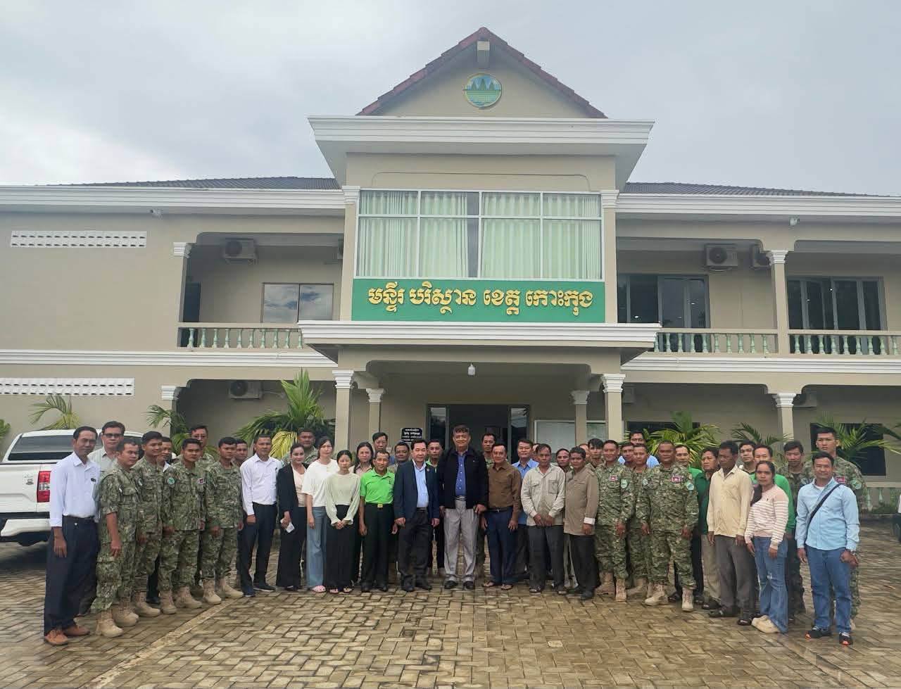
Cambodia Conducts GIS and Drone Training for Coastal Protected Areas
Cambodia's Ministry of Environment conducted a two-day training on Geographic Information Systems (GIS) and drone usage for rangers and technical officers in natural protected areas across four coastal provinces. Part of the CamAdapt project, the initiative aims to enhance environmental and natural resource monitoring and management capabilities.
This article requires PRO
This article is outside the free access window or is a special report. PRO unlocks it and the full archive.
Related articles
- UNICEF Backs Cambodia for Clean, Green and Sustainable Development
UNICEF reaffirmed its support for Cambodia's clean, green, and sustainable development efforts through the Ministry of Environment's Circular Strategy on Environment (2023-2028), focusing on plastic reduction and environmental education.
- Cambodia Drafts Management Plan for Sankrorkhvan Wildlife Sanctuary
Cambodia's Ministry of Environment held its second consultative meeting for the draft management plan of the Sankrorkhvan Wildlife Sanctuary in Udor Mean Chey province. The plan aims to enhance the effective management and conservation of the sanctuary.
- Cambodia Forecast: Widespread Rain, Thunderstorms, and Gusty Winds Expected
Cambodia's Ministry of Water Resources has forecast widespread rain, thunderstorms, and gusty winds across 60% of the country from October 6th to 8th, influenced by Tropical Depression Choi-wan. The highlands and plains are expected to experience the most significant impact.
- Wealthy Individual Allegedly Developing Mountainous Area in Ratanakiri, Raising Environmental Concerns
Residents in Cambodia's Ratanakiri province have accused a wealthy individual from Phnom Penh of using heavy machinery to clear and develop mountainous land within an environmental protection zone for agricultural purposes. Local authorities and relevant ministries have not intervened or responded to inquiries.