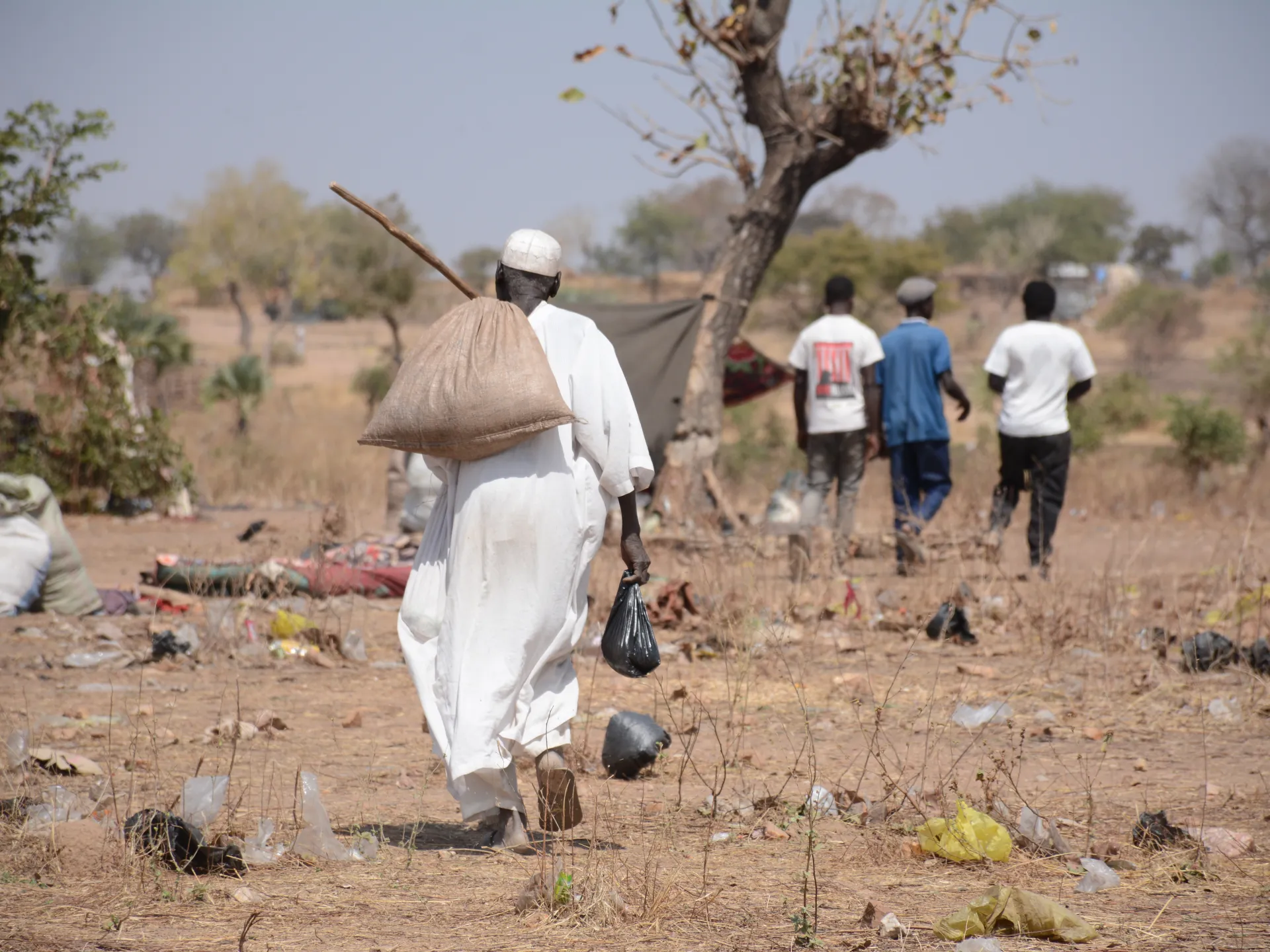
Satellite imagery reveals how Sudan’s war scorched its ‘breadbasket’
Satellite imagery reveals the devastating impact of Sudan’s civil war on its agricultural heartland. Analysis shows that the systematic dismantling of irrigation infrastructure under RSF control led to a collapse in food production, with only fragile signs of recovery following army advances.
This article requires PRO
This article is outside the free access window or is a special report. PRO unlocks it and the full archive.
Related articles
- Cambodia's Digital Foundation: Growth in Domestic Cloud and Data Centre Infrastructure
Every digital interaction in Cambodia, from QR code payments to mobile banking and media streaming, relies on cloud and data centre infrastructure. The growth of domestic infrastructure is key to data sovereignty and economic development.
- Cambodia Seeks Enhanced Water Resource Management Cooperation with Korea's K-Water, Focusing on Digital Technology
Cambodia's Ambassador to South Korea met with KIM Changsoon, President of Korea Water Resources Corporation (K-Water), agreeing to strengthen Official Development Assistance (ODA) cooperation in water resources, energy, and environment sectors. The focus is on promoting sustainable water resource management utilizing digital technologies.
- Cambodia and South Korea Strengthen Development Partnership in Water Resources Sector
Cambodia's Ambassador to South Korea met with the head of Korea Water Resources Corporation (K-Water) to discuss strengthening their development partnership in the water resources sector. Discussions focused on expanding cooperation in Official Development Assistance (ODA) projects related to water resources, energy, and the environment.
- Cambodian Parliament Prepares for Successful AIPA Assembly, Speaker Leads Preparatory Meeting
Cambodia's National Assembly held a preparatory meeting for the 47th ASEAN Inter-Parliamentary Assembly (AIPA) General Assembly, led by Speaker Khuon Sodary. The Speaker emphasized achieving success that benefits the citizens and nation, and enhancing the country's international prestige.