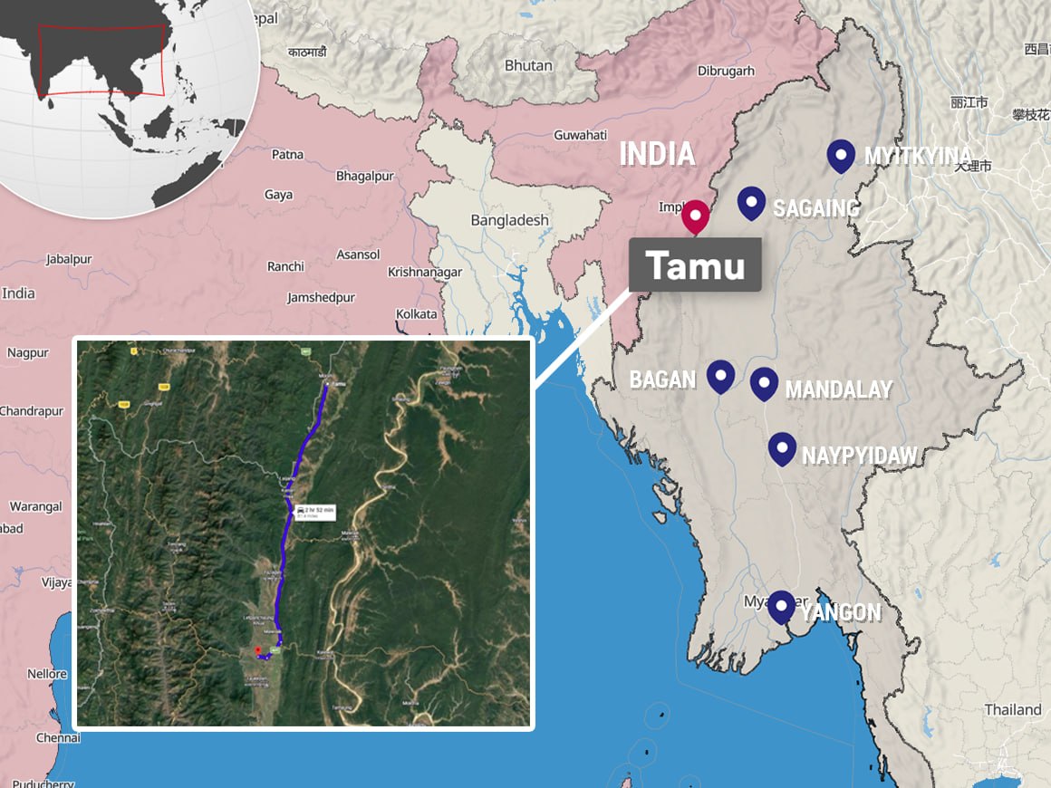
Military recaptures strategic village in Sagaing Region along India–Myanmar highway corridor
The military ousted the People’s Defence Force (PDF) from Tamu Township’s Htinzin village, located along 81-mile (130 km) long Kalay-Tamu road in Sagaing Region, on Sunday—five days after regime forces reclaimed control
This article requires PRO
This article is outside the free access window or is a special report. PRO unlocks it and the full archive.
Related articles
- Illegal buildings used for online scam and gambling in Shwe Kokko area continue to be demolished
It has been learned that the demolition of illegal buildings remaining to be demolished among those used for online scam and gambling businesses in the Shwe Kokko area began as a second phase today (October 6). The natio
- Prize money fraud using fake ticket at POWER lottery shop in Pyin Oo Lwin city
It has been learned from the POWER lottery shop that an incident of fraudulently claiming prize money using a fake 50 million kyat lottery ticket occurred at the POWER lottery shop in Pyin Oo Lwin city. It was learned th
- Army attacks IDP camps in Ponnagyun using cluster bombs, drops 18 bombs on Taungkok
It is known that the interim government army has been continuously carrying out airstrikes from the air using jet fighters, cluster bombs, and 300-pound bombs on IDP camps and former military bases where battles have occ
- Nigeria military plane crashes with 32 on board
A military aircraft carrying 25 passengers and 7 crew members crashed in southern Nigeria, resulting in the deaths of all 32 people on board. Regarding this incident, Nigerian President Bola Tinubu has expressed his cond