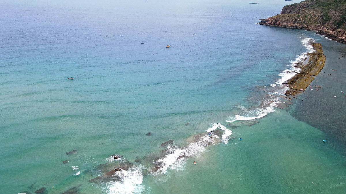
Mysterious 'Underwater City Walls' Emerge Off Vietnam's Quy Nhon Coast
Mysterious underwater rock formations, dubbed 'Bờ Đập' by locals, stretching approximately 4.5 km have been discovered off the coast of Quy Nhon, Vietnam, emerging during low tides. Initial surveys suggest a natural geological origin, but theories of ancient Sa Huynh or Champa civilization remnants are also being explored, pending further archaeological investigation.
This article requires PRO
This article is outside the free access window or is a special report. PRO unlocks it and the full archive.
Related articles
- Vietnam's Traditional Woodblock Printing Faces Future Through Young Artisans and Digitalization
The traditional woodblock printing craft of Thanh Liễu in Hải Phòng, Vietnam, with a history of nearly 600 years, faces challenges to its survival. However, through the innovative efforts of young artisans and the utilization of digital platforms, the craft is finding new avenues for continuation.
- Dong Nai Triple Murder Suspect Sentenced to Death; Robot Hand Performs Magic
A suspect in the murder of a mother and her two children in Dong Nai province, Vietnam, has received a death sentence. The news bulletin also featured a demonstration of a robot hand performing magic tricks, highlighting advancements in robotics.
- Hanoi Metro to Produce Trains Domestically via Alstom-Vingroup Tech Transfer
French rail giant Alstom will transfer technology and supply components to Vingroup for the assembly of 117 new metro trains in Vietnam, destined for five Hanoi metro lines. This partnership aims to localize train manufacturing within the country.
- Flash Flood Sweeps Away Truck in Central Vietnam, Multiple Casualties Feared
A flash flood in Vietnam's Central Highlands province of Lam Dong swept away a truck that attempted to cross a swollen stream. According to a witness, the driver proceeded despite warnings of strong currents, with the vehicle submerged within seconds. Multiple casualties are feared, and local authorities are conducting search and rescue operations.