General articles are free for 24 hours after publish.
LTFRB to Map Alternative Routes for Major Expressways Amid Flood Risks
The Land Transportation Franchising and Regulatory Board (LTFRB) has ordered the mapping of alternative routes for major expressways to prevent traffic congestion and flooding during heavy rains. This move follows a severe traffic gridlock on the Northern Luzon Expressway (NLEx), prioritizing passenger welfare and the delivery of goods.
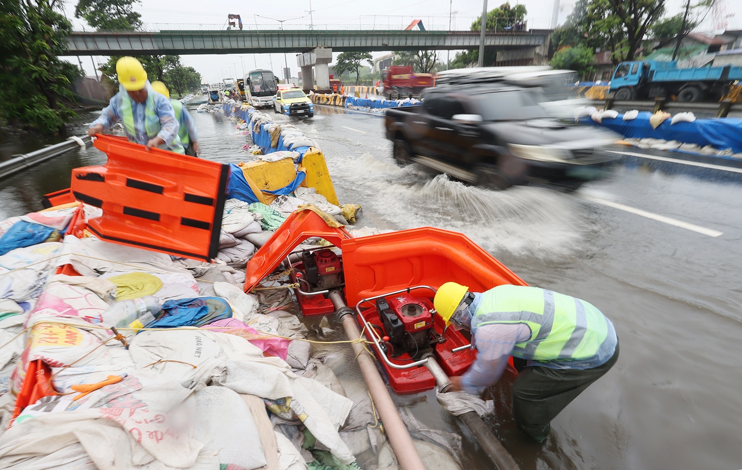
MANILA, Philippines — The Land Transportation Franchising and Regulatory Board (LTFRB) on Saturday said it instructed regional offices to map out alternative routes of major expressways. The order was made to prevent traffic build-up during severe floods. The move followed the recent traffic congestion that occurred along parts of Northern Luzon Expressway (NLEx), where motorists were stranded for nearly eight hours. Acting LTFRB Chairman Atty. Greg Pua Jr. directed regional offices to coordinate with expressway managements and local government units to identify alternative routes for possible worst-case scenarios, such as floods. Among the expressways covered by the instruction per region are as follows: “Our priority has always been the welfare of passengers and the delivery of goods to the Filipino people,” Pua said in a statement. “The incident that happened in NLEX is a wake-up call for us in the LTFRB and other agencies to do our part in coming up with measures to maximize the assistance to the public,” he noted. READ: NLEx traffic eases, nears normal after 8-hour gridlock The town in San Simon was submerged in waist to thigh-deep floodwaters amid rains brought by the southwest monsoon, or habagat, in recent days. This situation caused slow-moving traffic along northbound and southbound lanes of NLEx. As of Saturday, Sept. 5, the road condition in the San Simon interchange area reported light vehicular traffic. /apl
Original source
Inquirer NewsInfo