LGUs Urged to Utilize Geohazard Maps for Disaster Risk Reduction
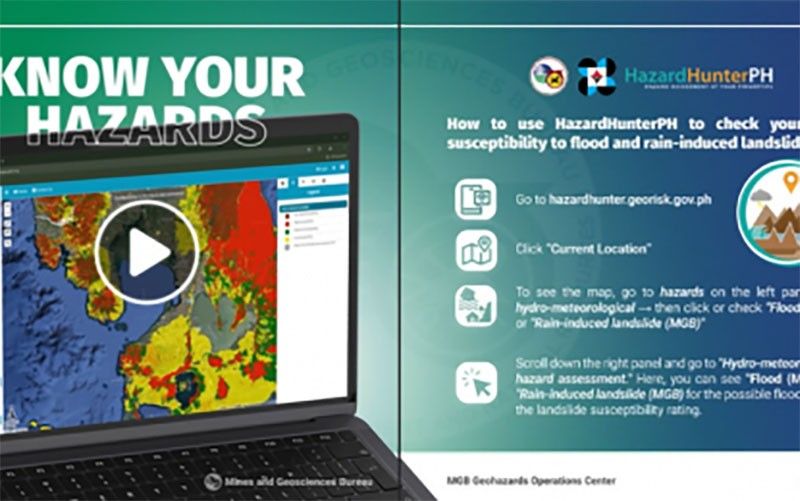
The Department of Environment and Natural Resources is urging local government units in the Philippines to leverage geohazard maps to mitigate risks from floods, landslides, and other natural disasters. The department provides updated maps based on geological assessments to aid disaster preparedness and urban planning.
This article requires PRO
This article is outside the free access window or is a special report. PRO unlocks it and the full archive.
Related articles
- Heavy Rains Forecast for Luzon, Including Metro Manila, Due to Localized Thunderstorms
The Philippine weather bureau forecasts heavy to intense rains in parts of Metro Manila and Luzon on Tuesday afternoon due to localized thunderstorms. Residents in affected areas are advised to be vigilant against potential flooding and landslides.
- 4 Rehabilitated Wild Animals Released into Aurora Protected Area
IBA, Zambales — Four rehabilitated wild animals, including a Philippine serpent eagle, two Philippine cobras, and a reticulated python, have been released into designated areas within the Aurora Memorial National Park, the Department of Environment and Natural Resources office in Central Luzon announced.
- Sibuco, Zamboanga del Norte Extends Class Suspensions Due to Persistent Rains
Classes in Sibuco, Zamboanga del Norte, remain suspended for all levels due to persistent heavy rains and inclement weather from the Intertropical Convergence Zone (ITCZ). The mayor extended the suspension to ensure residents' safety.
- Last Batangas Jeepney Flood Victim's Body Recovered
Search teams on Monday morning recovered the body of the last missing passenger of a jeepney swept away by strong river currents in Rosario, Batangas, on October 3. The victim's remains were found approximately 800 meters downstream.