Cambodia Continues to Experience Rain Despite End of Tropical Storms
Tropical storms 7 and 8 have dissipated in Cambodia, but a low-pressure system over the Bay of Bengal and South China Sea continues to influence the southwest monsoon, bringing rain to the country. Some areas may experience gusty winds and thunderstorms.
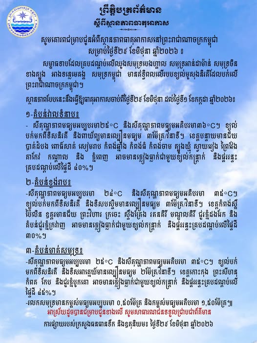
The influence of Tropical Storms 7 and 8, which have affected the Kingdom of Cambodia for the past few days, has now subsided. However, a low-pressure system covering the Bay of Bengal, Andaman Sea, South China Sea, Mekong River basin, and the Cambodian sea continues to influence the southwest monsoon blowing over the Kingdom, resulting in continued rainfall in some areas. This information was announced by the Ministry of Water Resources and Meteorology on the morning of June 29, 2026. According to the ministry's announcement, the weather conditions from June 29 to July 1, 2026, are as follows: In lowland areas, the average minimum temperature will be 25°C and the average maximum temperature will be 36°C. Winds from the southwest and northwest will blow at an average speed of 3 meters per second. Provinces such as Banteay Meanchey, Battambang, Poipet, Siem Reap, Kampong Thom, Kampong Cham, Tbong Khmum, Svay Rieng, Prey Veng, Takeo, Kandal, and Phnom Penh may experience rain accompanied by gusty winds and thunderstorms covering 40% of the land. In highland areas, the average minimum temperature will be 24°C and the average maximum temperature will be 35°C. Winds from the southwest and west will blow at an average speed of 3 meters per second. Provinces such as Kampong Speu, Pailin, Oddar Meanchey, Preah Vihear, Kratié, Stung Treng, Ratanakiri, Mondulkiri, the Dangrek Mountains, and the Cardamom Mountains may experience rain accompanied by gusty winds and thunderstorms covering 30% of the land. In coastal areas, the average minimum temperature will be 25°C and the average maximum temperature will be 35°C. Winds from the southwest and southeast will blow at an average speed of 2 meters per second. Provinces such as Koh Kong, Preah Sihanouk, Kampot, Kep, and the Bokor Mountains may experience rain accompanied by gusty winds and thunderstorms covering 45% of the land. Sea waves will have an average height of 0.50 meters and a maximum height of 1.50 meters.
多角的分析
熱帯低気圧の影響が終息し、農業への直接的な甚大な被害リスクは低下したものの、モンスーンによる継続的な降雨は、収穫期の農作物への影響や、インフラ(特に道路や橋)への負荷増大、さらには洪水リスクの増加につながる可能性があります。これは、農産物価格の変動や、物流コストの上昇といった形で経済活動に影響を与えることが考えられます。特に、農村部での収穫量への懸念は、食料供給の安定性にも関わってきます。
気象情報の安定化は、短期的な投資リスクを軽減させる要因となり得ます。しかし、モンスーンによる長引く雨は、インフラへの影響や、一部地域での物流の遅延を引き起こす可能性があり、これはサプライチェーンに依存する産業への投資家にとって、依然として考慮すべきリスク要因です。特に、農業関連や、インフラ整備に関わるプロジェクトへの投資判断においては、長期的な気象パターンの変化と、それによるインフラへの耐久性やメンテナンスコストを評価する必要があります。
一部地域での強風や雷を伴う雨の予報は、住民の日常生活に直接的な影響を与えます。特に、洪水が発生しやすい低地や、脆弱な住居を持つ地域では、安全確保のための注意喚起が不可欠です。また、農作物を生業とする人々にとっては、収穫への影響が家計を左右するため、予報の精度と、それに基づいた早期の避難や対策が求められます。沿岸部では、高波への警戒も必要となります。
熱帯低気圧の通過による直接的な被害は避けられたものの、雨が続くという予報は、日々の生活に影響を与えます。特に、農家の方々は、収穫時期と重なるため、雨による農作物への被害を心配しています。また、雨が続くと、道路の冠水などで移動が困難になることもあり、市場へのアクセスや、仕事への影響も懸念されます。沿岸部では、漁業への影響も考えられます。
背景・歴史的文脈
カンボジアは熱帯モンスーン気候に属し、年間を通じて降雨量が多い。特に6月から10月にかけては雨季にあたり、南西モンスーンの影響で多量の雨が降る。近年、地球温暖化の影響とされる異常気象が頻発しており、熱帯低気圧の発生頻度や強度の変化、そしてモンスーンパターンの変動が懸念されている。過去には、豪雨による洪水がインフラに甚大な被害を与え、経済活動や人々の生活に大きな影響を及ぼした事例も少なくない。水資源・気象省は、こうした気象変動に対応するため、早期警報システムの強化や、国民への情報提供に努めている。
原文ソース
Kampuchea Thmey Local