Western Visayas on Alert for Flooding Amidst Typhoon Inday and Monsoon Rains
The Philippine weather bureau has warned residents in Western Visayas to be vigilant for potential flooding due to Typhoon Inday and the southwest monsoon, with several river systems identified as high-risk areas for rising water levels.
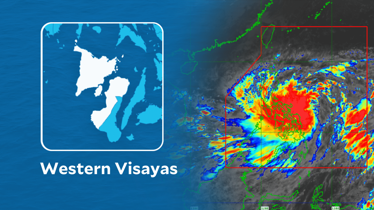
ILOILO CITY — The weather bureau on Thursday urged residents in Western Visayas, particularly those living near rivers, mountain slopes, and low-lying communities, to remain on alert for possible flooding as Typhoon Inday and the southwest monsoon continue to affect parts of the country. In its General Flood Advisory No. 3 for Region 6, issued at 6 a.m. on July 9, the Philippine Atmospheric, Geophysical and Astronomical Services Administration (Pagasa) said light to moderate rains and thunderstorms are expected over the region within the next 12 hours. As of 3 a.m., the eye of Typhoon Inday was estimated at 940 kilometers east of Northern Luzon. The typhoon was packing maximum sustained winds of 175 kilometers per hour near the center, with gusts reaching up to 215 kph, and was moving west-northwestward at 20 kph. READ: Inday weakens into typhoon; rains to drench parts of PH – Pagasa Although the cyclone remains far from Western Visayas, Pagasa said the southwest monsoon, enhanced by the typhoon, continues to bring rains over Palawan, the Visayas, and Mindanao. READ: PNP on heightened alert due to Typhoon Inday The weather bureau identified several river systems across Western Visayas that could be affected by the expected rainfall. In Iloilo, residents were advised to closely monitor rivers and tributaries, particularly those along the Pinantan, Barotac, Akalaygan, Jalaud, Jalano, Jagdong, Jalaur, Lamunan, Jaro-Aganan, Sibalom, and Guimbal river systems. In Capiz, rivers and tributaries particularly vulnerable include the Panay, Mambusao, Panay Malinao, Alingon, and Balantian river systems. In Antique, Pagasa identified the Sibalom, Ipayo, Cagaranan, Palawan, Cairauan, Dalanas, and Tibiao rivers as areas requiring close monitoring. Rivers and tributaries in Guimaras were also placed under watch. In Negros Occidental, the advisory covered the Malogo, Sicaba, Grande, Himogaan, Danao, Upper Tabanan, Sipalay, and Lower Ilog river systems. Meanwhile, in Aklan, the Ibajay, Aklan, and Jalo rivers were identified as waterways that may experience rising water levels. Pagasa advised residents living near mountain slopes and low-lying areas along these river systems to remain vigilant and take necessary precautions. Local disaster risk reduction and management councils were likewise urged to closely monitor weather conditions and implement appropriate preparedness measures while the advisory remains in effect./coa
多角的分析
台風インディとモンスーンによる降雨は、西ビサヤ地方の農業に直接的な影響を与える可能性がある。特に、収穫期に近い作物や、河川沿いの水田は浸水被害のリスクにさらされる。これにより、地域経済の基盤である農業生産が打撃を受け、食料供給の不安定化や農家所得の減少につながる恐れがある。また、インフラへの被害が発生した場合、復旧コストも経済的負担となる。
気象警報は、短期的な投資環境に不確実性をもたらす。特に、農業関連企業や、インフラ、物流に依存する企業は、サプライチェーンの寸断や操業停止のリスクに直面する可能性がある。投資家は、こうした自然災害リスクを考慮し、ポートフォリオのリスク分散を検討する必要がある。一方で、災害復旧やインフラ強化に関連する分野への投資機会も生まれる可能性がある。
西ビサヤ地方の住民、特に河川沿いや低地に住む人々にとって、洪水は生活基盤を脅かす深刻な問題である。過去の事例からも、洪水は家屋の損壊、避難生活、衛生問題の悪化などを引き起こし、住民の安全と健康を脅かす。今回の警報は、地域社会における防災体制の重要性を改めて浮き彫りにし、住民一人ひとりの避難計画や備蓄の確認を促す必要がある。
今回の気象情報に接した市民は、特にイロイロ、カピス、アンティケなどの州に住む人々は、自身の住む地域がどの河川流域に含まれるかを確認し、具体的な避難準備を進める必要がある。過去の洪水被害の経験から、不安を感じる住民もいるだろう。当局からの情報提供を注意深く見守り、家族や近隣住民との連携を密にすることが、被害を最小限に抑える鍵となる。
背景・歴史的文脈
フィリピンは熱帯低気帯の通り道に位置し、年間を通じて台風やモンスーンによる豪雨に見舞われる。特に西ビサヤ地方は、地理的に低地が多く、河川システムが発達しているため、洪水が発生しやすい地域である。過去の事例では、2021年の台風オデット(ライ)のように、甚大な被害をもたらす大型台風も発生しており、気象庁による早期警報と地方自治体による迅速な対応が、被害軽減の鍵となっている。今回の台風インディとモンスーンの複合的な影響は、フィリピンの脆弱なインフラと、気候変動による異常気象の頻発化という構造的な課題を改めて浮き彫りにしている。
原文ソース
Inquirer NewsInfo