Can the Ocean Calculator Save Indonesia's Coasts?
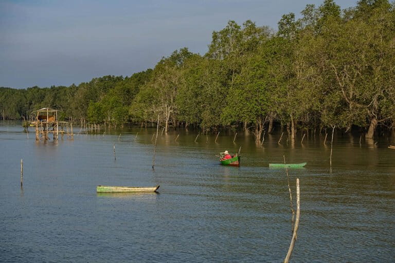
Indonesia's Ministry of Maritime Affairs and Fisheries is implementing the Ocean Calculator, a geospatial platform using ocean accounting to precisely calculate the economic value of marine and coastal ecosystems. This data-driven tool, utilizing satellite technology, aims to inform sustainable maritime policies and benefit coastal communities.
This article requires PRO
This article is outside the free access window or is a special report. PRO unlocks it and the full archive.
Related articles
- President Prabowo Donates 160 Electric Tricycles to Elderly Drivers in Bogor
Indonesian President Prabowo has donated 160 electric tricycles to 160 elderly tricycle drivers in Bogor City. This aid, provided through the President's personal foundation, aims to alleviate the physical burden on seniors and improve their livelihoods. City officials have pledged to ensure safe operation and proper management.
- Prabowo to Boost Forest Police Force to 70,000
Indonesian President Prabowo Subianto announced plans to increase the forest police force from the current 4,500 personnel to 70,000, aiming to address personnel shortages for protecting the vast forest areas.
- Indonesian Vice President Pledges Efforts to Bridge Educational Divide, Citing Own Educational Background
Indonesia's Vice President, acknowledging his own educational background below high school completion, expressed a strong commitment to ensuring children have the opportunity to graduate high school, aiming to bridge the educational divide.
- Prabowo Proposes Renaming National Narcotics Agency, Highlights 'Drug Villages'
Indonesian President Prabowo Subianto intends to rename the National Narcotics Agency (BNN) to the National Narcotics Eradication Agency. He highlighted the prevalence of 'drug villages' and the sacrifices of security personnel in drug eradication efforts, vowing to work harder to resolve the issue.