General articles are free for 24 hours after publish.
Ho Chi Minh City Hit by Thunderstorms, Southern Region Braces for Heavy Rainfall
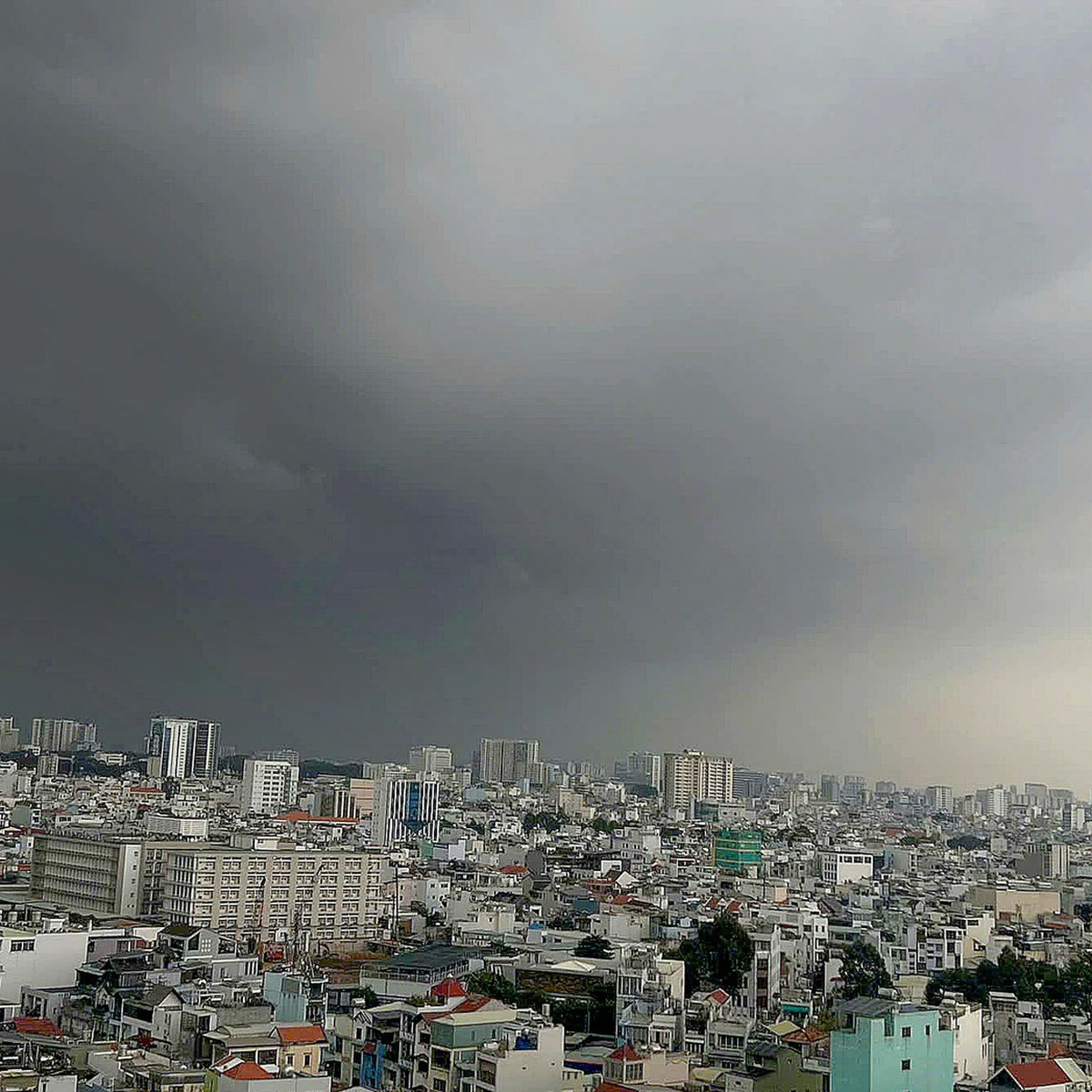
Thunderstorms rumbled across Ho Chi Minh City on the afternoon of September 9, bringing heavy rain to some areas. This is part of a widespread rainfall expected to continue for several days, with warnings issued for thunderstorms and localized flooding across the southern region.
On the afternoon of September 9, thunder rumbled across the sky of Ho Chi Minh City, with heavy rain observed in some areas. This is part of a widespread rainfall expected to continue for several days. According to satellite imagery, weather radar, and lightning positioning data, cumulonimbus clouds have developed, bringing heavy rain accompanied by thunderstorms to areas including Binh Tien, Binh Phu, Tan My, Phu Dinh, and Thoi Hoa (My Phuoc 3 Industrial Park, Thoi Hoa People's Committee). Other affected locations include Binh Duong (Hoi An Pagoda), Hoa Loi (Ben Don Market, Hoa Loi People's Committee), Phu An (Sugarcane Research Institute), Tay Nam (Protrade International Industrial Park), and Long Nguyen (Long Nguyen Market). Rain was also recorded in Vinh Tan, Binh Co, Tan Uyen, Tan Hiep, Cu Chi, Tan An Hoi, Thai My, An Nhon Tay, Nhuan Duc, Phu Hoa Dong, Binh My, Thuong Tan, Bac Tan Uyen, and Phuoc Hoa. The forecast indicates that this rainfall will rapidly expand to other neighboring areas, with precipitation ranging from 5-20mm, and potentially exceeding 30mm in some locations. During thunderstorms, caution is advised due to the risk of tornadoes, lightning, hail, and strong gusts of wind at levels 5-7. Heavy rainfall may also cause localized flooding. In other provinces and cities in the Southern region, cumulonimbus clouds are also developing, with rainfall predicted between 10-30mm, and over 50mm in certain places. Similar to Ho Chi Minh City, warnings are in effect for tornadoes, lightning, hail, and strong gusts of wind at levels 5-8 during thunderstorms, with heavy rain potentially leading to localized flooding. Notably, a more significant change in weather is expected between September 10 and 11, with the Southern region likely experiencing increased rainfall. The extent and volume of rain are predicted to rise, with some areas facing very heavy downpours. The author of this report recently returned from a survey trip to Papua New Guinea and Cape York in northern Queensland, Australia. Despite it being the dry season, many wetlands in Cape York were dry, the grass was yellow and withered, river levels were extremely low, and some riverbeds were exposed. This scene prompted deep reflection on the situation in the Mekong Delta, which is facing the El Nino phenomenon. Source: The Saigon Times
Original source
The Saigon Times