General articles are free for 24 hours after publish.
Bangkok's Flood Hotspots: Terrain and Drainage Capacity are Key
Bangkok experiences frequent flooding in specific districts due to low-lying terrain and drainage limitations. The actual flood risk is determined by local topography and drainage infrastructure, not solely by district names.
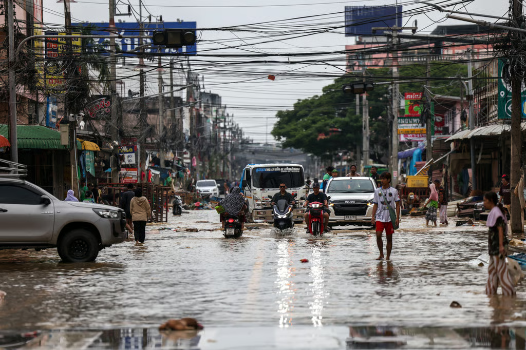
Flooding in Bangkok varies significantly by district, driven by the city's terrain and the limitations of its drainage systems. A district name alone cannot determine whether a specific street will flood. The city's topography, the capacity of its drainage network, and rising Chao Phraya River levels all shape local flood risk, meaning flood hotspots are not a fixed citywide ranking. The distinction lies between areas with recurring flood exposure and roads that collect water after heavy rain when intense downpours overwhelm drains. On the Thonburi side, districts like Bang Phlat, Bangkok Noi, Bangkok Yai, and parts of Taling Chan are situated near the Chao Phraya River and its canal network. When river levels rise, water can push into low-lying communities, especially where flood barriers are limited. During prolonged periods of rain, canals and drains also have less capacity to carry runoff away. Further west, areas such as Thawi Watthana, Nong Khaem, and Bang Khae include low-lying ground and former paddy fields, where flat terrain can slow drainage. While flood defenses have been reinforced around riverside communities, nearby streets can still face different conditions depending on elevation and protection. In contrast, districts like Lat Krabang, Min Buri, Nong Chok, Prawet, and outer Bang Na exhibit a different pattern. Their flat terrain, canals, and drainage channels can lead to standing water when seasonal rains persist or downpours exceed local drain capacity. Some of these areas are also farther from central drainage infrastructure, meaning runoff may take longer to clear. Districts like Don Mueang, Bang Khen, Chatuchak, and Lat Phrao appear in reports of recurring waterlogging, but this does not mean entire districts regularly go underwater. Heavy rain can overwhelm drains at specific intersections and road corridors. Examples include Ratchadaphisek Road near Bangkok Bank in Chatuchak and Chaeng Watthana Road in Lak Si. Bangkok Metropolitan Administration (BMA) prepares for these conditions by clearing drains and canals, checking for blockages, and readying pumps. However, intense rainfall can briefly exceed local drainage capacity, leading to temporary street flooding rather than prolonged inundation. Flooding in Bangkok often results from multiple pressures occurring simultaneously. Heavy rain adds water faster than drains can move it, while river levels, tides, and low terrain can slow its exit from the city. A brief, intense downpour can overwhelm street drains and pumps before they clear the initial surge of runoff. Prolonged rain creates a different problem: canals remain high, and low-lying areas may take longer to drain even after the heaviest rainfall ends. Consequently, one street can flood quickly while another nearby remains passable. Bangkok's canals connect neighborhoods to the Chao Phraya River, so river conditions can affect how quickly water leaves riverside communities. When upstream discharge raises the river and high tides slow its flow toward the sea, connected canals may also rise. This can limit drainage or increase pressure on low-lying areas near the river.
Original source
Chiang Rai Times