General articles are free for 24 hours after publish.
Indonesia Faces Flight Delays and Cancellations Due to Forest Fire Haze
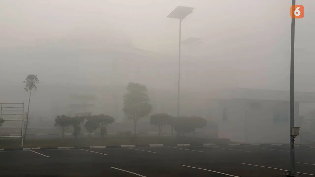
Widespread forest fire haze in Indonesia is significantly impacting air travel, particularly in Kalimantan, where visibility has drastically reduced. Pontianak experienced visibility down to 600 meters, leading to flight diversions and delays.
Widespread forest fires (karhutla) across Indonesia are significantly impacting air operations due to severe haze. AirNav Indonesia, the state-owned aviation navigation service, is intensifying its airspace monitoring around Kalimantan. Capt. Avirianto Suratno, President Director of AirNav Indonesia, stated that continuous monitoring is essential to manage dynamic atmospheric conditions and visibility changes, aiming to ensure the safety of flights traversing Kalimantan and surrounding skies. "Flight safety is our top priority. Therefore, AirNav Indonesia continuously monitors airspace conditions, including changes in visibility, weather conditions, and other meteorological information," Avirianto said. As of 11:57 AM WIB on September 2, 2026, the most significant impact of the haze was observed in Pontianak, West Kalimantan, where visibility plummeted to 600 meters. This situation led to delays for several flights. According to Avirianto, "One flight on the Jakarta-Pontianak route was forced to return to its origin (RTB). Meanwhile, flights in Palangka Raya, Central Kalimantan, are still operating normally with a safe visibility of around 3,500 meters." The previous day, September 1, haze also affected North Kalimantan, causing visibility at Juwata Airport (Tarakan) to drop sharply to between 1,000 and 5,000 meters. This resulted in one flight being diverted to the nearest airport and three other flights being postponed. On the same day, extreme visibility reductions due to haze were recorded at several pioneer airports in Kalimantan. At Malinau Airport, visibility dropped to 2,000 meters, leading to flight diversions. Long Apung Airport experienced visibility between 150-300 meters, and Tanjung Harapan Airport had visibility ranging from 400-1,000 meters. However, the situation in North Kalimantan is reportedly improving, with visibility increasing to between 3,000-5,000 meters. In addition to monitoring the impact of forest fire haze, AirNav Indonesia is also monitoring the effects of the Mount Sinabung eruption in North Sumatra. Flight operations at Kualanamu Airport have reportedly returned to normal without volcanic ash affecting flight paths. "AirNav Indonesia conducts comprehensive monitoring to ensure all airspace is safe for transit. If any potential disruptions occur, in accordance with procedures, we will promptly issue information (notices) to pilots and airlines," Avirianto concluded.
Original source
Liputan6