General articles are free for 24 hours after publish.
Tropical Depression Expected to Intensify, Enter PAR by Thursday Morning
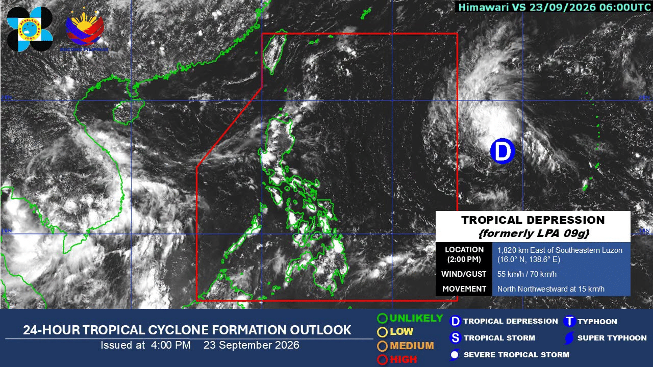
A tropical depression off Southeastern Luzon may intensify as it enters the Philippine area of responsibility (PAR) by Thursday morning, September 24, according to the Philippine Atmospheric, Geophysical and Astronomical Services Administration (Pagasa). Maximum sustained winds are expected to reach 95 kph.
A tropical depression located off Southeastern Luzon may intensify as it enters the Philippine area of responsibility (PAR) by Thursday morning, September 24, the state weather bureau said. In its 5 p.m. weather advisory, the Philippine Atmospheric, Geophysical and Astronomical Services Administration (Pagasa) reported that the tropical depression is likely to intensify into a severe tropical storm with maximum sustained winds of up to 95 kilometers per hour (kph) as it enters the PAR. The weather system was last spotted about 1,110 kilometers east of southeastern Luzon, moving northwest at 20 kph. Pagasa has not yet issued any storm signals, but residents in low-lying areas and those near riverbanks are advised to be vigilant and prepared for possible flash floods and landslides. Philippines is located in the Pacific Ring of Fire and is frequently hit by tropical cyclones, especially during the rainy season. Preparedness and early warning systems are crucial for mitigating the impact of such weather events on the population and infrastructure.
Original source
Inquirer NewsInfo