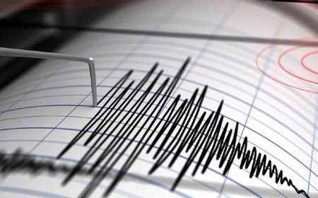
Series of Earthquakes Jolts Java to Bali, No Tsunami Threat
Multiple earthquakes of varying magnitudes struck areas from West Java to Bali on Wednesday morning. The strongest, a 5.5 magnitude quake in Sumur, Banten, posed no tsunami threat. Smaller tremors were also recorded in East Java, West Java, and Bali.
A series of earthquakes with varying magnitudes shook several areas from West Java to Bali on Wednesday morning, July 8. The first tremor, measuring 5.5 on the Richter scale, struck Sumur, Banten at 02:44 Western Indonesian Time (WIB). The epicenter of the earthquake was located at sea, approximately 62 kilometers southwest of Sumur in Pandeglang Regency, Banten, at coordinates 6.83 degrees south latitude and 105.04 degrees east longitude. According to Wijayanto, as reported by Antara, the earthquake's movement mechanism was a thrust fault with a focal depth of 43 kilometers. "The modeling results show that this earthquake is not tsunami-potential," he stated. Following the initial tremor, other areas also experienced seismic activity. At 03:51 WIB, an earthquake of magnitude 2.3 shook the Malang Regency in East Java. Its epicenter was at sea, 86 kilometers southeast of Malang Regency, with a depth of 86 kilometers. Subsequently, at 04:07 WIB, an earthquake measuring 3.2 jolted the Bandung Regency in West Java. The epicenter was located about 96 kilometers southwest of Bandung Regency, with a shallow depth of 12 kilometers. In the morning, at 05:36 WIB, an earthquake of magnitude 2.6 was recorded in South Kuta, Bali. The BMKG reported its epicenter was approximately 90 kilometers southeast of South Kuta, at a depth of 33 kilometers. Indonesia is situated on the Pacific Ring of Fire, making it prone to seismic activity. The recent events highlight the ongoing geological dynamism of the region.
多角的分析
地震活動は直接的な経済的損害を引き起こす可能性があるが、今回の地震はマグニチュードが比較的小さく、津波の懸念もないため、広範囲にわたる直接的な経済的影響は限定的と考えられる。しかし、インフラへの軽微な被害や、観光業への一時的な影響は否定できない。特に、地震発生地域周辺のインフラ復旧や安全確認には、一定のコストが発生する可能性がある。
今回の地震は、投資家にとって直接的なリスク要因とはなりにくい。マグニチュードが小さく、津波の心配もないため、短期間で市場を大きく揺るがす可能性は低い。しかし、インドネシアは地震多発国であるため、長期的な視点では、インフラの耐震性や防災対策への投資が、企業の持続可能性やリスク管理において重要視される傾向がある。
ジャワ島からバリ島にかけての地域は、人口密集地であり、観光地でもある。今回の地震では、住民の不安を引き起こし、一部地域では一時的な混乱が生じた可能性がある。特に、夜間から早朝にかけての地震であったため、住民の避難行動や情報伝達に課題が生じたことも考えられる。SNSなどを通じた情報共有が迅速に行われた一方で、デマの拡散リスクも存在する。
ジャワ島やバリ島に住む人々にとって、地震は日常的な恐怖の対象である。今回の地震は、特にバンテン州の住民にとっては、夜中に突然揺れに襲われるという不安な体験となっただろう。幸い津波の心配はなかったものの、家屋への被害やインフラへの影響が軽微であっても、地域住民の心理的な負担は無視できない。日頃からの防災意識の向上と、迅速な情報提供が求められる。
背景・歴史的文脈
インドネシアは、太平洋プレート、ユーラシアプレート、インド・オーストラリアプレートなど、複数のプレートが衝突する環太平洋火山帯に位置している。このため、地震活動が非常に活発であり、特にジャワ島やバリ島周辺は、インドネシア国内でも地震が多い地域の一つとして知られている。過去にも、スマトラ島沖地震(2004年)やジャワ島沖地震など、甚大な被害をもたらす地震が複数回発生している。今回の地震は、これらのプレート運動に起因するものであり、インドネシアの地理的特性に起因する自然現象である。
原文ソース
VOI English