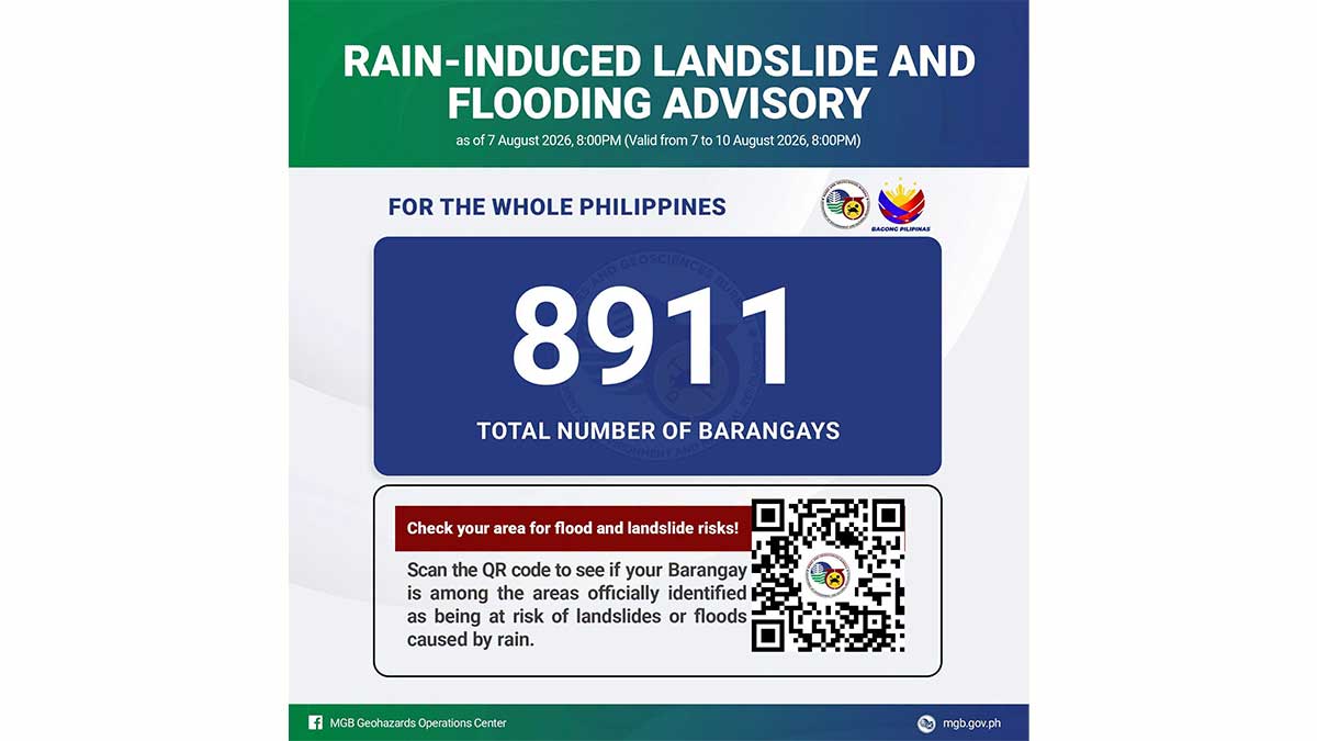
Nearly 9,000 Barangays Nationwide at Risk for Floods, Landslides
Nearly 9,000 barangays nationwide are at risk of flooding and rain-induced landslides due to persistent rains from the southwest monsoon. The Department of Environment and Natural Resources-Mines and Geosciences Bureau (DENR-MGB) has released its latest hazard map, urging communities to be vigilant.
This article requires PRO
This article is outside the free access window or is a special report. PRO unlocks it and the full archive.
Related articles
- Landslides, Rockslide Hit Olongapo City Amidst Continuous Rains
Multiple landslides and a rockslide struck Olongapo City on Saturday due to continuous heavy rains. The Santa Rita barangay, a known landslide-prone area, was particularly affected, raising concerns for residents and infrastructure.
- Death Toll from Habagat, Storms Rises to 7 in Philippines
Seven fatalities have been reported in the Philippines due to persistent rains from storms and the enhanced southwest monsoon, locally known as 'habagat.' Incidents include drowning and landslides, with the latest victim being a minor who fell into a river.
- DENR Warns Over 9,000 Barangays of Landslide and Flood Risks
The Department of Environment and Natural Resources (DENR) has warned 9,085 barangays nationwide of potential landslides and floods due to continuous rains from the southwest monsoon. Residents are urged to remain vigilant and informed.
- Over 9,000 Barangays Face Landslide, Flood Risks in Philippines
The Mines and Geosciences Bureau (MGB) reports that over 9,000 barangays are at risk of landslides and floods due to the southwest monsoon, exacerbated by Typhoon Dolphin. Ilocos Region, Central Luzon, Calabarzon, and Metro Manila are identified as high-risk areas.