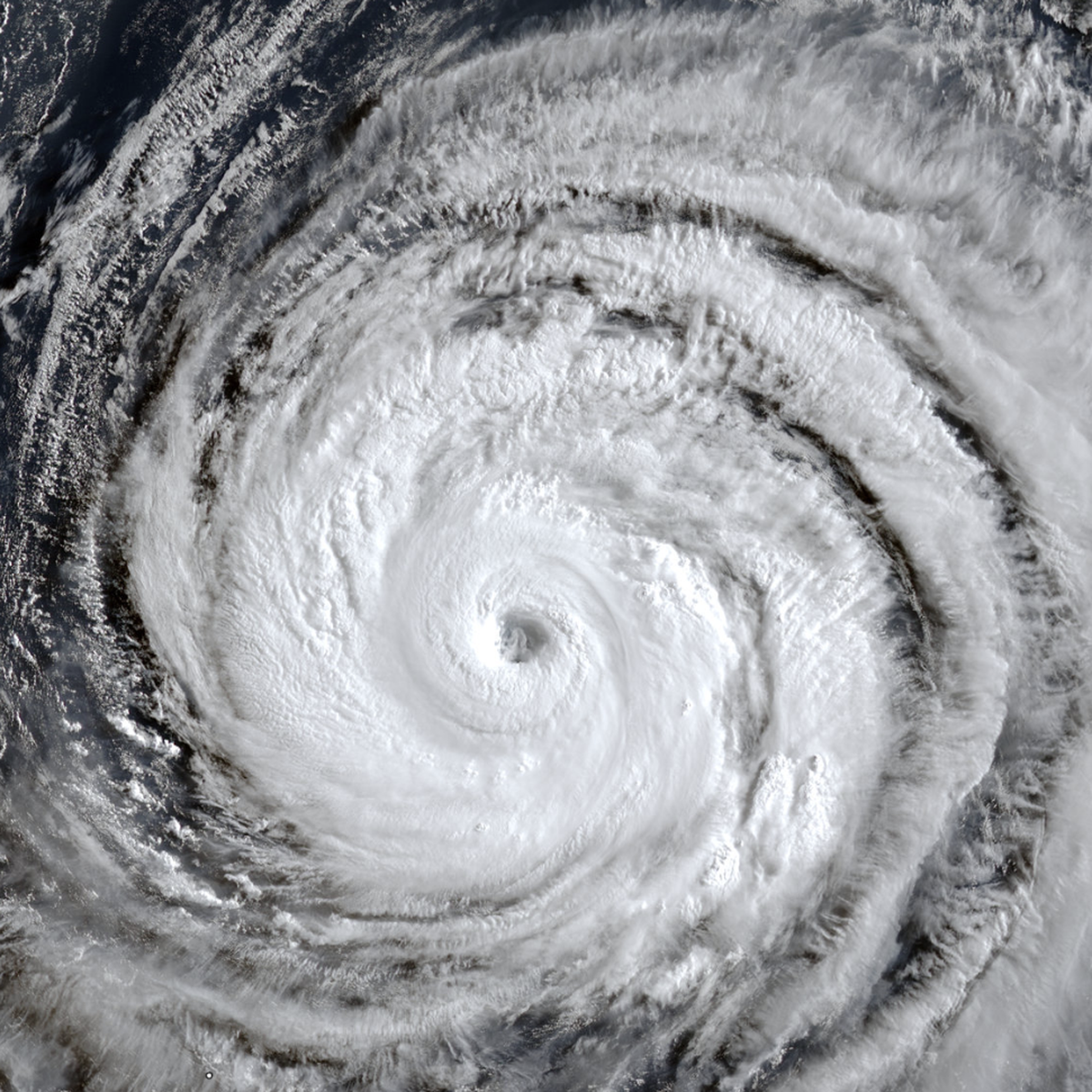
Typhoon Dolphin to Affect South China Sea as Southwest Winds Strengthen Near Taiwan
Diplomacy
2026年8月3日
5
The Saigon Times
Relations
🇻🇳Vietnam🇨🇳China

General articles are free for 24 hours after publish.

Typhoon Dolphin to Affect South China Sea as Southwest Winds Strengthen Near Taiwan

Share
AI Summary

As Typhoon Dolphin approaches northern Taiwan in early August, southwest winds are expected to intensify in the southern South China Sea. While direct impact on Vietnam's coast appears low, changes in marine conditions warrant attention.

As Typhoon Dolphin approaches northern Taiwan in early August, southwest winds are expected to intensify in the southern South China Sea. According to the Japan Meteorological Agency (JMA) as of the morning of August 3, Typhoon Dolphin's center was located about 2,100 km east-southeast of Okinawa, Japan, with maximum sustained winds near the center at 166 km/h (Category 15), gusting over 240 km/h (Category 17). The JMA forecasts that the typhoon will move west at approximately 20 km/h over the next 24 hours, with its intensity potentially weakening to 150-166 km/h (Category 14), with gusts over Category 17. In the following days, the typhoon is expected to continue moving west towards Okinawa, with further weakening anticipated. Around August 7-8, Typhoon Dolphin is projected to pass through Okinawa and then enter the sea east of China. The National Center for Hydro-Meteorological Forecasting in Vietnam estimates the typhoon is moving mainly west-northwest at about 25 km/h, with a tendency to weaken gradually to Category 14-15 (134-166 km/h), with gusts over Category 17. It is expected to directly affect the Okinawa region (Japan) between August 6 and 7, and then continue towards mainland China. In connection with this approaching typhoon, it is anticipated that as Typhoon Dolphin nears northern Taiwan around August 5-8, southwest winds in the southern South China Sea will strengthen. From August 6 to 7, southwest winds across most of the northern, central, and southern South China Sea (including the Paracel and Spratly Islands) could reach force 6-7, with wave heights of 2-4 meters, indicating very rough seas. Regarding a tropical depression east of the Philippines, the Japan Meteorological Agency has assessed that this tropical depression has weakened into an area of low pressure (winds below force 6), contrary to earlier forecasts of it strengthening into a typhoon. The National Center for Hydro-Meteorological Forecasting predicts that the number of typhoons and tropical depressions active in the South China Sea and directly affecting mainland Vietnam in August 2026 is likely to be lower than the multi-year average. The multi-year average for the South China Sea is 2.4 storms, with about 0.8 making landfall in Vietnam. Vietnam, under its one-party system, continues to drive economic growth and holds a significant position in international supply chains. However, such natural phenomena can impact logistics, fisheries, and coastal infrastructure, posing potential risks to economic activities. Changes in marine conditions in the South China Sea, a region with complex relations with China, could also indirectly affect Vietnam's security and economic operations. The Vietnamese government consistently emphasizes monitoring weather information and issuing timely warnings to its citizens.

0

Original source

The Saigon Times

原文を読む