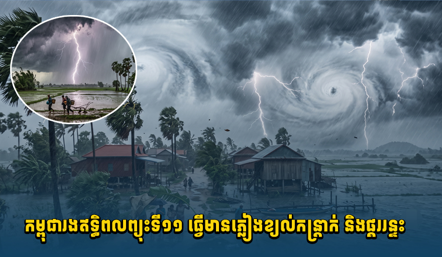
Cambodia Braces for Typhoon Haishen's Impact: Heavy Rain, Winds, and Thunderstorms Expected July 14-18
The Cambodian Ministry of Water Resources and Meteorology has warned of potential heavy rain, strong winds, and thunderstorms across the country from July 14-18 due to Typhoon Haishen. Coastal and highland areas are particularly advised to be cautious.
The Ministry of Water Resources and Meteorology has announced that Typhoon Haishen will bring rain, strong winds, and thunderstorms to Cambodia from July 14 to 18. According to the ministry's announcement, a low-pressure area that formed over the Western Pacific has developed into Typhoon Haishen (T2611), influencing the southwest monsoon that blows over the Bay of Bengal, the Andaman Sea, the South China Sea, the Mekong River basin, the Cambodian Sea, and the Kingdom of Cambodia. Although the Kingdom of Cambodia is not directly in the path of Typhoon Haishen, its effects are unavoidable. Typhoon Bavi (No. 9) is expected to dissipate by July 15. From July 14 to 18, the weather situation is expected to bring rain, strong winds, and thunderstorms to about 50% of the plains areas, including Banteay Meanchey, Battambang, Poipet, Kampong Cham, Takeo, Svay Rieng, Kampot, and Phnom Penh. In the highland areas, such as Kampong Speu, Pailin, Udor Mean Chey, Preah Vihear, Kratie, Stung Treng, Ratanakiri, Mondulkiri, the Dangrek Mountains, and the Cardamom Mountains, these phenomena are expected to cover about 70% of the land. In the coastal areas, including Koh Kong, Sihanoukville, Kampot, Kep, and the Bokor Mountains, about 70% of the area is expected to experience rain, strong winds, and thunderstorms, with wave heights ranging from an average of 0.50 meters to a maximum of 1.75 meters. The ministry urges the public, especially those traveling by land and water, to exercise extreme caution regarding these weather phenomena. They will continue to monitor and analyze the weather situation and provide updates if there are any changes. Source: Koh Santep Khmer
多角的分析
気象災害はカンボジア経済に直接的な影響を与える。特に農業部門は、収穫時期の雨や強風により大きな被害を受ける可能性がある。また、インフラへのダメージは復旧に多額の費用を要し、短期的な経済成長を鈍化させる要因となりうる。沿岸部での高波は漁業や観光業にも影響を及ぼすため、経済的損失は広範に及ぶと予想される。
投資家にとっては、気象災害は事業継続性リスクを高める要因となる。特にインフラ関連や農業関連への投資は、一時的な停滞や追加の保険コストの発生を考慮する必要がある。一方で、災害復旧やインフラ強化に関連するビジネスチャンスも生まれる可能性があるが、短期的な不確実性は高まるだろう。
今回の気象警報は、特に脆弱な立場にある農村部や沿岸部の住民に直接的な影響を与える。家屋の損壊、農作物の被害、交通網の寸断は、人々の生活基盤を揺るがす。また、雷雨や強風は、移動中の人々や漁業従事者にとって生命の危険にもつながりうるため、事前の避難や注意喚起が重要となる。
カンボジア市民、特に農村部や沿岸部に住む人々は、この気象警報に不安を感じている。過去の同様の気象現象による被害経験から、家屋や農作物の安全確保、そして移動手段の検討を始めている。漁業従事者や建設現場で働く人々は、仕事への影響と安全確保の両面で懸念を抱いている。
背景・歴史的文脈
カンボジアは、地理的に低地が多く、熱帯モンスーン気候に属するため、雨季には洪水や強風、雷雨といった気象災害に見舞われやすい。過去にも、台風やモンスーンの影響による洪水で、農作物への被害やインフラの損壊が頻繁に発生している。特に、近年の気候変動の影響により、異常気象の頻度と強度が増加する傾向にある。2023年には、エルニーニョ現象の影響で干ばつが懸念されたが、雨季には豪雨が発生し、一部地域で洪水被害が生じた。今回の台風11号「ヘイシェン」は、南シナ海を通過する熱帯低気圧であり、カンボジアへの直接的な影響は少ないとされているが、周辺海域やモンスーン気流への影響を通じて、局地的な大雨や強風を引き起こす可能性がある。
原文ソース
Koh Santepheap Khmer